Aerial Imaging, Mapping & Inspection Solutions You Can Trust
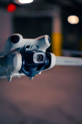
01.
3D Photogrammetry & Digital Twins
Transform Real-World Sites into Accurate 3D Models
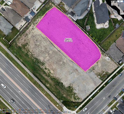
Using advanced drone imaging and specialized processing software, we capture hundreds or thousands of high-resolution photographs to create highly accurate 3D digital models of buildings, construction sites, land, and infrastructure.
Our photogrammetry services provide survey-grade visual data that helps engineers, architects, contractors, and property owners make informed decisions without needing repeated site visits.
Create a Living Digital Replica of Your Property
A Digital Twin is an interactive virtual representation of your building, facility, or job site. It allows stakeholders to remotely explore, inspect, measure, and monitor a property from anywhere.
Digital Twins reduce travel, improve collaboration, and preserve a complete visual record of your assets over time
02.
Real Estate Photography & Video
Showcase Every Property at Its Best
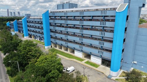
Professional photography and cinematic video help properties make a strong first impression online. At AI Drone Flights, we create high-quality visual content that highlights each property’s best features, helping listings capture attention and engage more potential buyers.
Whether you’re marketing a single-family home, luxury estate, condominium, commercial property, or new development, we deliver polished media that elevates your brand and your listings.
03.
Inspection Services
Safe, Efficient, and Detailed Aerial Inspections
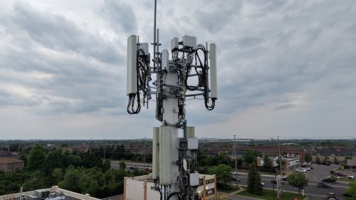
At AI Drone Flights, we use advanced drone technology to perform high-resolution aerial inspections of buildings, infrastructure, and hard-to-reach assets. Our inspections provide detailed visual data without the need for ladders, scaffolding, or costly equipment, helping you identify issues quickly while minimizing safety risks and operational downtime.
Whether you need routine maintenance inspections or post-storm assessments, we deliver clear imagery and comprehensive reports to support informed decision-making.
Our Seamless Process for Aerial Services
Initial Consultation
We begin with a discussion to understand your needs and vision for the project.
Planning and Scheduling
Next, we plan the flight, considering optimal weather conditions and necessary permits.
Flight Execution
Our skilled pilots conduct the flight, capturing high-quality images and videos as per the plan.
Delivery and Review
Finally, we deliver the visuals for your review, ensuring they meet your expectations before finalizing.